Quick answer: Real estate drone photography in Seattle captures aerial stills that show lot size, setback, waterfront, and view context that ground photos cannot. At Vourly it is a $125 add-on for a set of aerial photos, and it is already included in the Highlight, Cinematic, Premiere, and Luxury listing packages. All flights are by FAA Part 107 certified pilots. Build a quote at vourly.co/real-estate.
Some listings are made by the air. Waterfront, acreage, view lots, and homes where the surrounding context sells the property all benefit from an aerial that a ground camera simply cannot get. This page covers Vourly's real estate drone photography in the Seattle area, what it costs, and the rules that keep it legal. For everything on the ground, see our real estate photography hub; for aerial video, see drone videography.
When drone photos earn their place
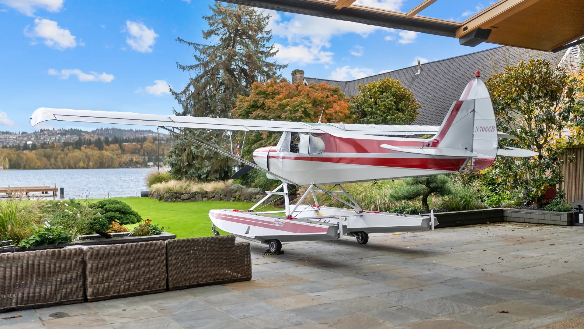
- Waterfront and view lots. The reason buyers pay a premium is often only visible from above.
- Acreage and large lots. An aerial shows the whole parcel, the boundaries, and the setback at a glance.
- Neighborhood context. Proximity to water, parks, and the skyline that a listing description struggles to convey.
- New construction and commercial. Site progress, parking, and access read clearly from the air.
Pricing
Drone photos are a $125 add-on for a set of 3 to 6 aerial shots, and they are already bundled into the Highlight ($699), Cinematic ($850), Premiere ($1,350), and Luxury ($2,400) listing packages at the 2,000 to 2,999 square foot tier. The 3D Matterport package does not include drone. If you just want aerials on an hourly shoot, filming is $100 per hour on iPhone 4K or $200 per hour on professional cinema cameras. Build the exact total at vourly.co/real-estate.
Licensed and legal
Every flight is operated by a pilot holding FAA Part 107 certification, which is the requirement for commercial drone work in the United States. That matters near Seattle, where controlled airspace around the airports means some locations require authorization before a legal flight. Working with certified pilots keeps your listing media compliant. Edited aerials are delivered by 10am the next morning with the rest of the shoot.
Frequently asked questions
How much is real estate drone photography in Seattle?
Drone photos are a $125 add-on for a set of aerial shots, and they are included in the Highlight, Cinematic, Premiere, and Luxury listing packages. Build a live quote at vourly.co/real-estate.
Are your drone pilots licensed?
Yes. Every flight is by a pilot holding FAA Part 107 certification, the required credential for commercial drone photography in the US.
Can you fly my listing near the airport?
Some locations in controlled airspace around Seattle require authorization before a legal flight. Our certified pilots handle that, and will tell you upfront if a specific address cannot be flown.